
diff options
Change static ressource links to `https`
…otherwise various browsers correctly complain about unencrypted ressources if the website is accessed via `https`.
Diffstat (limited to 'articles/2011-06-14_darstellen_von_gps_daten_mit_gnuplot.md')
| -rw-r--r-- | articles/2011-06-14_darstellen_von_gps_daten_mit_gnuplot.md | 6 |
1 files changed, 3 insertions, 3 deletions
diff --git a/articles/2011-06-14_darstellen_von_gps_daten_mit_gnuplot.md b/articles/2011-06-14_darstellen_von_gps_daten_mit_gnuplot.md index 8cb03a3..cc97add 100644 --- a/articles/2011-06-14_darstellen_von_gps_daten_mit_gnuplot.md +++ b/articles/2011-06-14_darstellen_von_gps_daten_mit_gnuplot.md @@ -71,7 +71,7 @@ def printCsv(gpxPositions): ## Plotten mit gnuplot -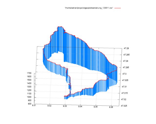{: .full .clear} +{: .full .clear} Eine solche, dreidimensionale Ausgabe der GPS Daten zu erzeugen ist mit der `splot`-Funktion sehr einfach. @@ -98,8 +98,8 @@ Mit `set [y,x,z]range` werden die Außengrenzen des zu plottenden Bereichs geset Als letztes werden jetzt die zwei Plots mit `splot` gezeichnet. Die Angaben hinter `with` steuern hierbei das Aussehen der Linien. Falls jemand den Artikel mit meinen Daten nachvollziehen möchte - das GPX-File kann hier heruntergeladen werden: - [2011-06-12.gpx](http://static.kummerlaender.eu/media/2011-06-12.gpx) + [2011-06-12.gpx](https://static.kummerlaender.eu/media/2011-06-12.gpx) Zum Schluss hier noch ein Blick vom Weg auf den Kronberg Richtung Jakobsbad im Appenzell: -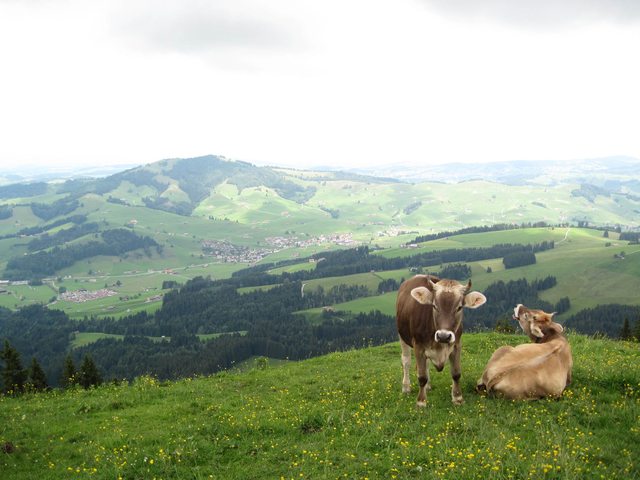{: .full} +{: .full} |